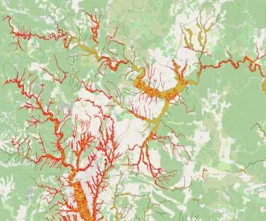
Les travaux réalisés par Geomatys via PostGIS et QGIS se détaillent comme suit :
- Aligning field watercourse sections with those of the BD Topage database
- Extraction of new linear features from PPRI surfaces
- Recursive addition of main water body information to newly created sections